Details
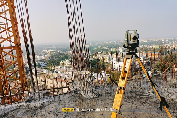
Measure and map the features of a piece of land, such as elevations, contours, and acreages. Land surveys can include data on natural features like rivers and hills, as well as human-made features like roads and power lines. Land surveys are used for a variety of purposes, including establishing property boundaries, determining locations, and supporting civil engineering projects
